Heat-Island Mapping Finds Alexandria, Arlington and Pockets of Fairfax Among Northern Virginia's Hottest Places
Preliminary results from a volunteer-driven mapping project put Alexandria and Arlington, plus pockets of Fairfax County, among the places that stayed hot all day - with the single hottest reading, 103 degrees, recorded in Franconia.
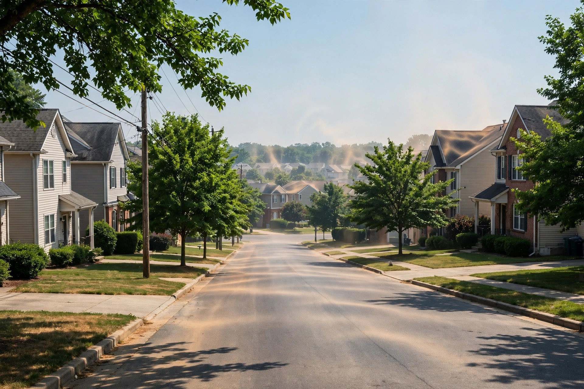
Alexandria is one of Northern Virginia's heat islands, according to preliminary results from the Urban Heat Island Mapping Project. The project, organized by the Faith Alliance for Climate Solutions with George Mason University's Virginia Climate Center and the American Red Cross-National Capital Chapter, mapped significant parts of Alexandria and Arlington, plus pockets of Fairfax County, that were hot all day.

The data came from the ground, street by street. About 80 volunteers collected temperature readings on July 21 from 30 routes across the City of Alexandria and Arlington and Fairfax counties, using vehicle rooftop sensors and covering each route three times through the day - from 6 to 8 a.m., 2 to 4 p.m. and 6 to 8 p.m. Other hot spots identified in Northern Virginia were Tysons, Reston, Fair Lakes, Chantilly and Springfield, and the hottest temperature recorded during the mapping was 103 degrees in Franconia, just south of Alexandria.
The point of the exercise is precision. The project aims to collect data at the neighborhood and street level - down to how conditions change from street to street - so local governments can aim responses, from tree plantings to land-use and development decisions, where the heat actually sits. Organizers noted that young people, seniors and people on certain medications face particular heat-related risks, and that nights that do not cool down are especially dangerous. The full data will be part of a report on urban heat islands that George Mason's Virginia Climate Center will release later this year.